The Mysterious Origins of the West Asian Giant
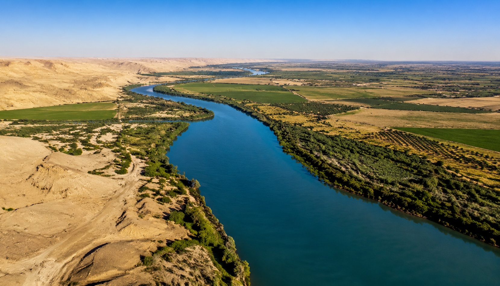
Mapping the Rivers Lost Beneath the Mediterranean
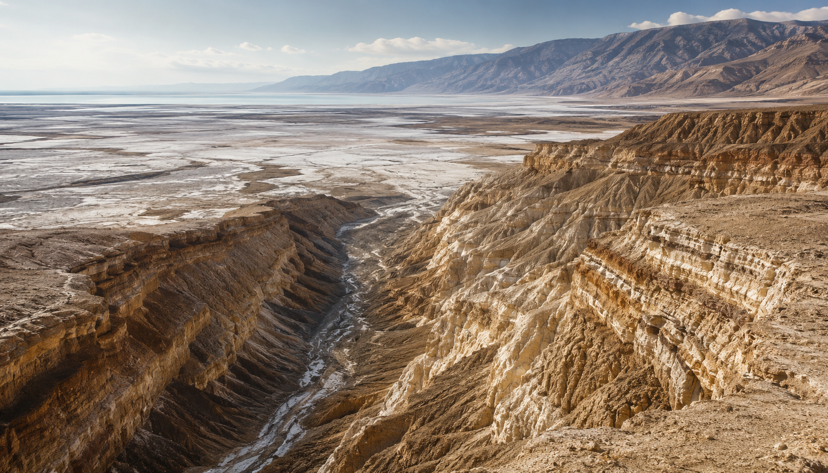
The data collected show that these two rivers appeared to flow directly into the Mediterranean Sea until about 3.6 million years ago. The researchers discovered that they flowed into this basin during the Upper Miocene period. This era corresponds to a specific phase during which the Mediterranean was partially dried up—a major climatic and geological event known as the Messinian Salinity Crisis (MSC), which spanned a period from 5.97 to 5.33 million years before our era.
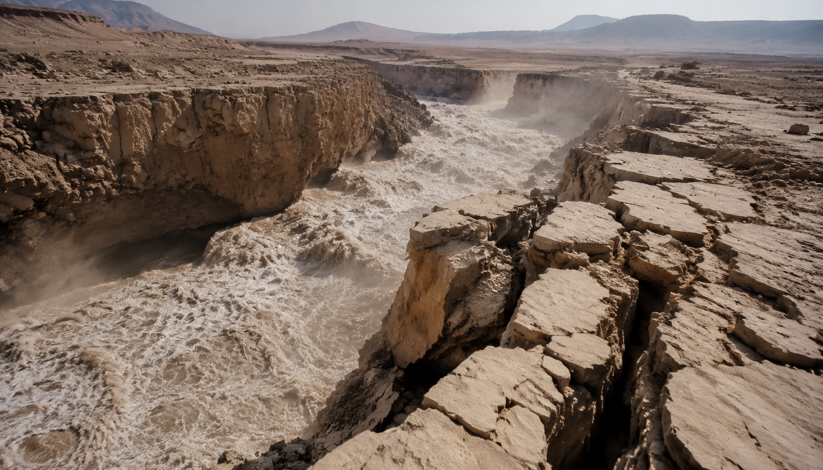
On the Trail of Submarine Sediments
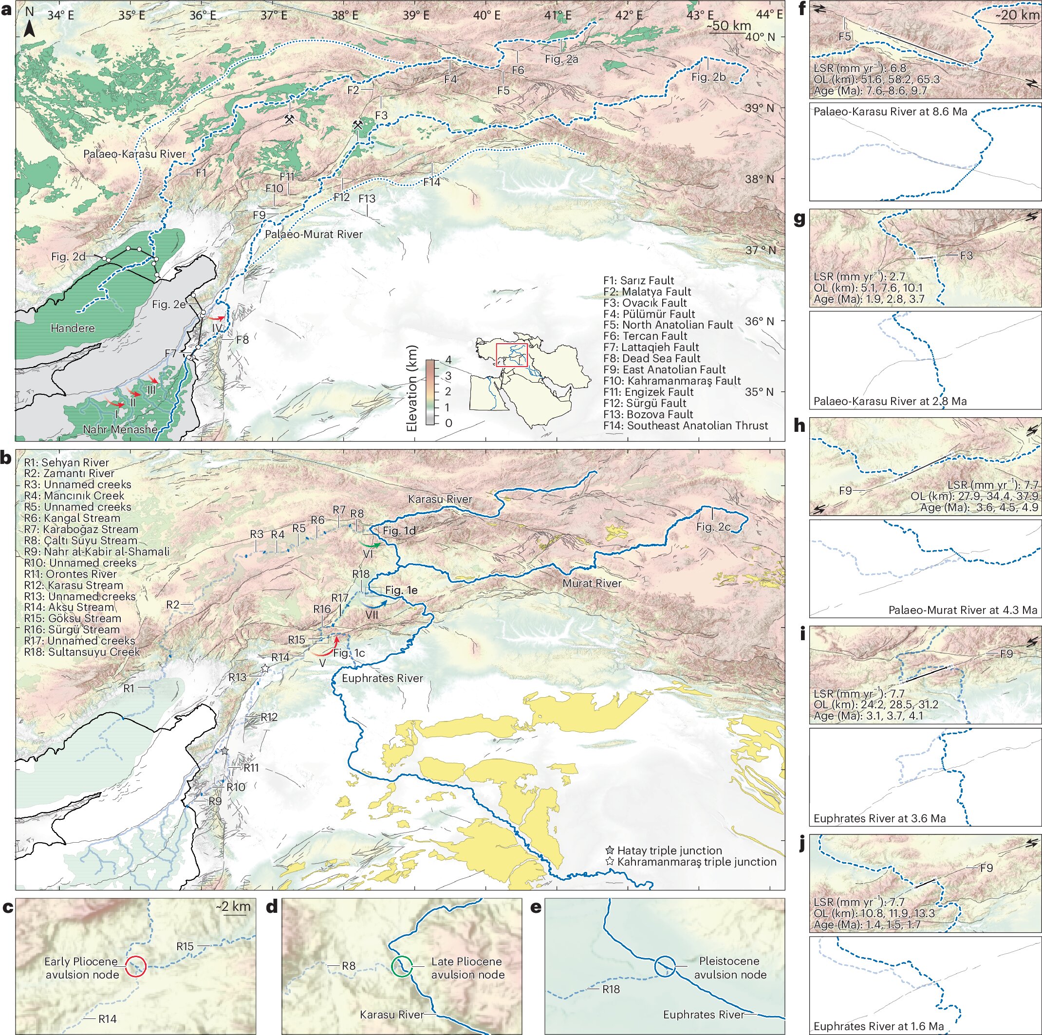
In their report, the study’s authors detail the findings of their observations: “We conclude that similar large-scale structural trends controlled the alignment of the Karasu River, the Murat River, Handere, and Nahr Menashe; paleofluvial flow was initially directed toward the southwest before shifting to the southeast; modern river channels preserve relict features of ancient systems; and long-term fluvial accumulation has persisted along the Mediterranean coast.”
The researchers explain that intense tectonic activity redirected the Paleo-Murat River toward the Persian Gulf. Subsequently, the Paleo-Karasu River merged with the Paleo-Murat River during the Upper Pliocene. Subsequent activity, which occurred approximately 3.6 million years ago, caused the Paleo-Karasu River to shift toward the Arabian Plate. This geological event triggered the beginning of the formation of a brand-new, developing Euphrates River. According to researchers’ estimates, it was 1.6 million years ago that the modern Euphrates River truly began its existence on the Arabian Plate.
The Formation of the Fertile Crescent Landscape
This computer modeling provided an accurate estimate of the size these prehistoric rivers reached. The scientists then took the time to compare the reconstructed hydrology of the Paleo-Karasu and Paleo-Murat rivers with that of modern rivers. The researchers note that although the areas of the reconstructed basins were nearly one order of magnitude smaller than the current watersheds of the Tigris-Euphrates and Nile systems, the amount of sediment deposited there turned out to be “strikingly similar.”
The data reveal a fascinating paradox regarding the volumes of water in motion. The researchers state that the flow rate of water from the Paleo-Karasu River exceeds the volume of water currently flowing from the Nile. In total, the combined flow of the ancient rivers was greater than that of today’s Tigris, Euphrates, and Nile rivers combined. This staggering figure suggests the existence of intense rainfall and rugged terrain in the past, despite the fact that these conditions occurred during the Messinian Salinity Crisis (MSC).
Findings that Redraw Hydrological History

The implications of these findings extend beyond the simple history of a single river to touch on the region’s overall evolution. The interaction between the Earth’s crust and the climate of the time created a unique environment conducive to major topographic upheavals. The study’s authors draw this conclusion: “These results suggest that deformation at the plate boundary both controlled the river avulsions that diverted the Euphrates River from the Anatolo-Eurasian Plate toward the Arabian Plate and established the conditions necessary for the development of the alluvial Fertile Crescent.”
For those wishing to consult the full research, the publication details of this study, led by Andrew S. Madof and his colleagues, are titled “Late Miocene Euphrates River drained into a partially desiccated eastern Mediterranean.” This monumental work is published in issue 2026 of the journal Nature Geoscience. The article is accessible via the DOI: 10.1038/s41561-026-01962-x.
According to the source: phys.org
According to a study, plate tectonics shaped the cradle of civilization by bringing two ancient rivers together