A Mysterious Signal from Greenland
The east coast of Greenland rarely takes center stage. Yet one day, without any warning, seismic instruments around the world began to vibrate in unison. They recorded a slow, steady rhythm that lasted for nine full days—a pulse that rose and fell every ninety-two seconds.
The day the mountain collapsed into the fjord
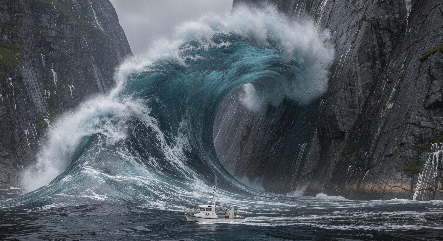
On September 16, 2023, a mass of more than 25 million cubic meters of rock and ice broke away. That’s enough to fill 10,000 Olympic-sized swimming pools. The mass plunged into the waters of Dickson Fjord, causing an impact of unprecedented violence. A gigantic wave—a mega-tsunami—formed, reaching a height of about 650 feet, or nearly 200 meters.
Computer simulations later showed that the water’s surface rose as high as 30 feet (9 meters) and then fell by the same amount, at a steady rhythm. This movement exerted pressure on the seafloor, acting like a giant piston.
A Never-Before-Observed Seismic “Heartbeat”
Alice Gabriel, of the Scripps Institution of Oceanography at UC San Diego, highlighted the complexity of the work: “It was a major challenge to produce an accurate computer simulation of a tsunami with such a long duration.”
A Mystery Solved Through Global Collaboration
The mystery mobilized an impressive scientific task force: more than seventy researchers from forty-one different institutions. Kristian Svennevig, of the Geological Survey of Denmark and Greenland, explains: “When we embarked on this scientific adventure, everyone was baffled, and no one had the slightest idea what was causing this signal.”
“All we knew was that it was somehow associated with the landslide. We were only able to solve this mystery thanks to a massive interdisciplinary and international effort,” he added. While field teams measured the fresh gouges left by the impact on the cliffs, supercomputers recreated the avalanche’s trajectory and the fjord’s response.
Robert Anthony of the U.S. Geological Survey shared this enthusiasm: “It was exciting to work on such a puzzling problem with an interdisciplinary and international team of scientists. Ultimately, it took a wealth of geophysical observations and numerical models from researchers in many countries to piece together the puzzle and get a complete picture of what had happened.”
Climate Change: An Accelerator of Risks
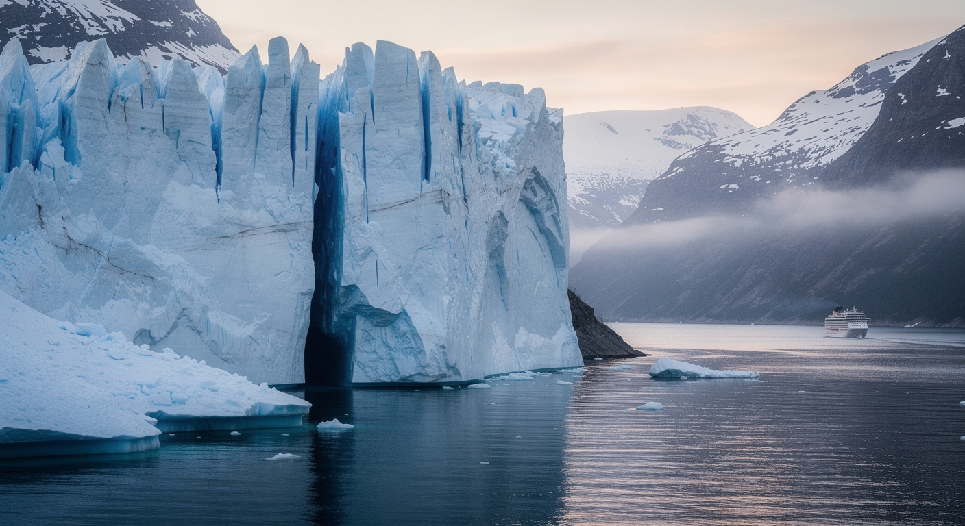
How could such a disaster have occurred? Glacial ice once acted as a natural buttress, supporting the unstable slope. But warming air and ocean waters have gradually eroded this barrier. “Climate change alters what is typical on Earth, and it can trigger unusual events,” notes Alice Gabriel.
SWOT: The Game-Changing Satellite
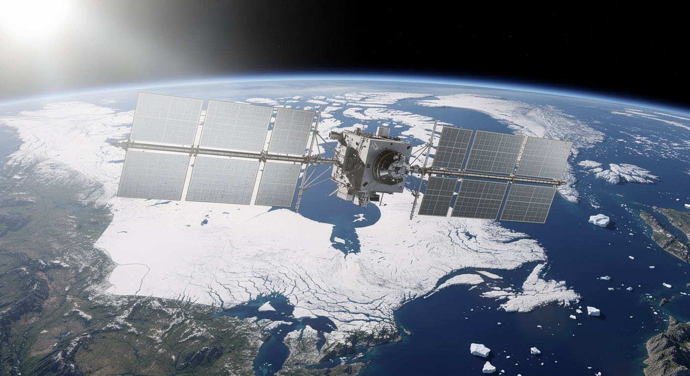
Thomas Monahan of the University of Oxford explains: “Climate change is leading to unprecedented extremes, particularly in remote regions like the Arctic, where our ability to monitor conditions using traditional physical sensors is limited.” He continues: “SWOT represents a breakthrough in our ability to study ocean processes in areas such as fjords—places that have long posed challenges for previous satellite technologies.”
This study demonstrates how the new generation of Earth-observing satellites can transform our scientific understanding of these dynamic environments. Professor Thomas Adcock, also of Oxford, notes: “This study demonstrates how advanced satellite data can finally shed light on phenomena that have eluded us for years.” He concludes: “We are now gaining new insights into oceanic extremes such as tsunamis, storm surges, and rogue waves. To fully harness the potential of these new datasets, we will need to push the boundaries of machine learning and our understanding of ocean physics.”
Listening to the Earth to Better Anticipate Tomorrow

Building on this discovery, researchers are now combing through seismic archives in search of similar slow pulses. The goal is to uncover other natural disasters from the past that may have gone unnoticed. “This shows that there are things we still don’t understand and that we’ve never seen before,” says Carl Ebeling of the Scripps Institution.
“The essence of science is trying to answer a question we don’t know the answer to—that’s why it was so exciting to work on this,” he adds. Each new discovery will help refine the models that simulate the interaction between slope failures, fjord geometry, and water depth. The full study was published in the journals Science and Nature Communications.
Source: earth.com
A 200-meter mega-tsunami sparks a global seismic mystery